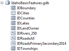
GEOSPATIAL DATA PRESENTATION FORM: vector, downloadable data, ArcGIS Geodatabase
PROCESSING ENVIRONMENT: Microsoft Windows 7 Version 6.1 (Build 7601) Service Pack 1; Esri ArcGIS 10.2.2.3552
SPATIAL REFERENCE PROJECTION: NAD_1983_Idaho_TM
REFERENCE SYSTEM IDENTIFIER: ESRI - 102605
Description:
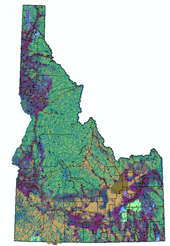
The IdahoBasicFeatures.gdb GIS data is a package of downloadable data for use in research.
The Idaho State Boundary, Counties, Cities, Lakes, Rivers, Primary Roads and All roads, Townships within Idaho, and Land Owners are represented.
Use and Access Constraints:
None. Acknowledgment of the originating agencies would be appreciated in products derived from these data.
Citation Information, Originator:
U.S. Geological Survey in cooperation with U.S. Environmental Protection Agency, USDA Forest Service, and other Federal, State and local partners as well as U.S. Census Bureau.